










 Image: Getty Images
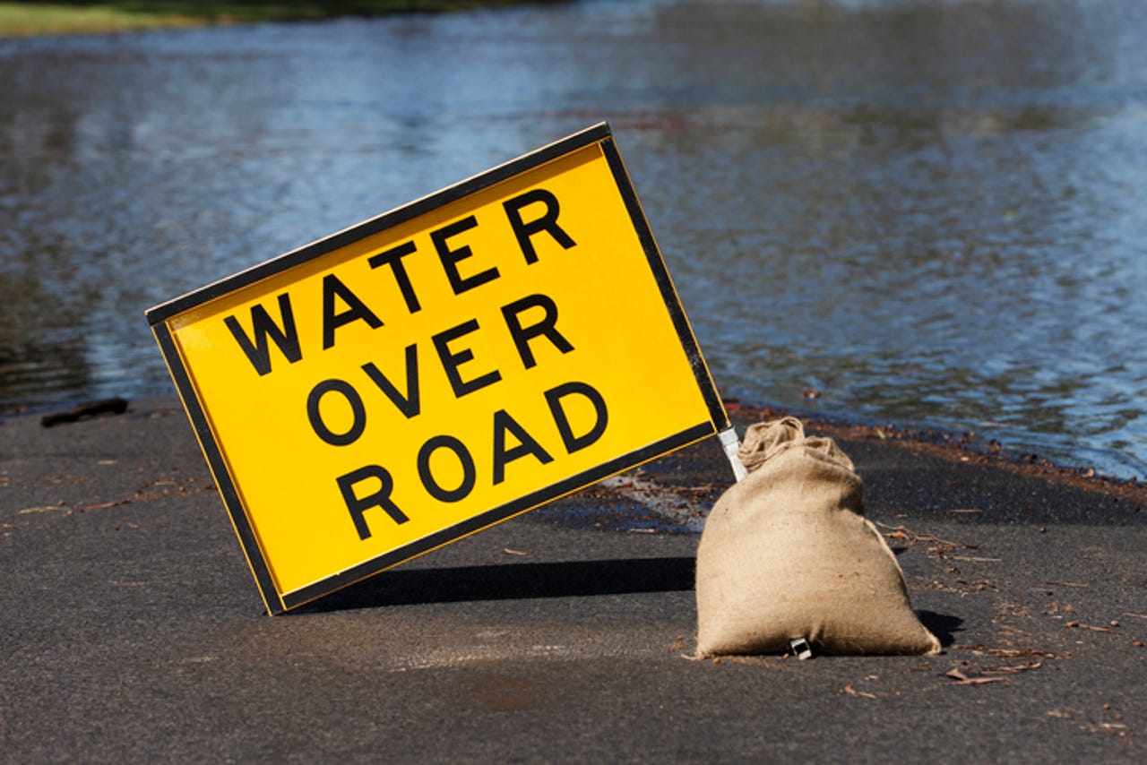
 The Australian Bureau of Meteorology has approached the market seeking a flood intelligence modelling proof of concept to help emergency services make informed over the lifecycle of potential flood events.
The agency said the short-term solution, which needs to be delivered by the 28 February 2022, must be able to provide seven-day forecasts to aid preparation for flood events, real-time data during events, post-event data to show the actual impact of events, as well as annual, aggregated flood data.
At the same time, the tender papers also indicated the system needed to be "highly accurate" in providing national coverage.
"Before, during, and after flood events, there is an urgent need for flood inundation forecasting, real-time flood inundation analysis, and post-event flood extent data to support decision making before, during, and after events," the tender documents stated.
Submissions close 16 November 2021.
This solution would be built on top of the growing tools that emergency services have on hand to help them monitor and predict natural disasters.
Earlier in the year, the Commonwealth Scientific and Industrial Research Organisation (CSIRO) and the Australasian Fire and Emergency Service Authorities Council signed an agreement to develop a bushfire simulation tool to be used by fire and emergency services agencies across the country.
The bushfire simulation tool to be called Spark Operational will be based on CSIRO's Spark fire prediction platform, which uses existing fire behaviour data to produce predictions, statistics, and visualisations of bushfire spread.
Just last week, the Minderoo Foundation set itself what it was claiming to be an audacious goal of helping Australia extinguish bushfires within one hour by 2025.
Part of achieving that goal, according to Lee Goddard, head of the Minderoo Foundation's Fire and Flood Resilience initiative, would involve tapping into real-time mapping and Earth observation data.
 Tags quentes :
Inovação